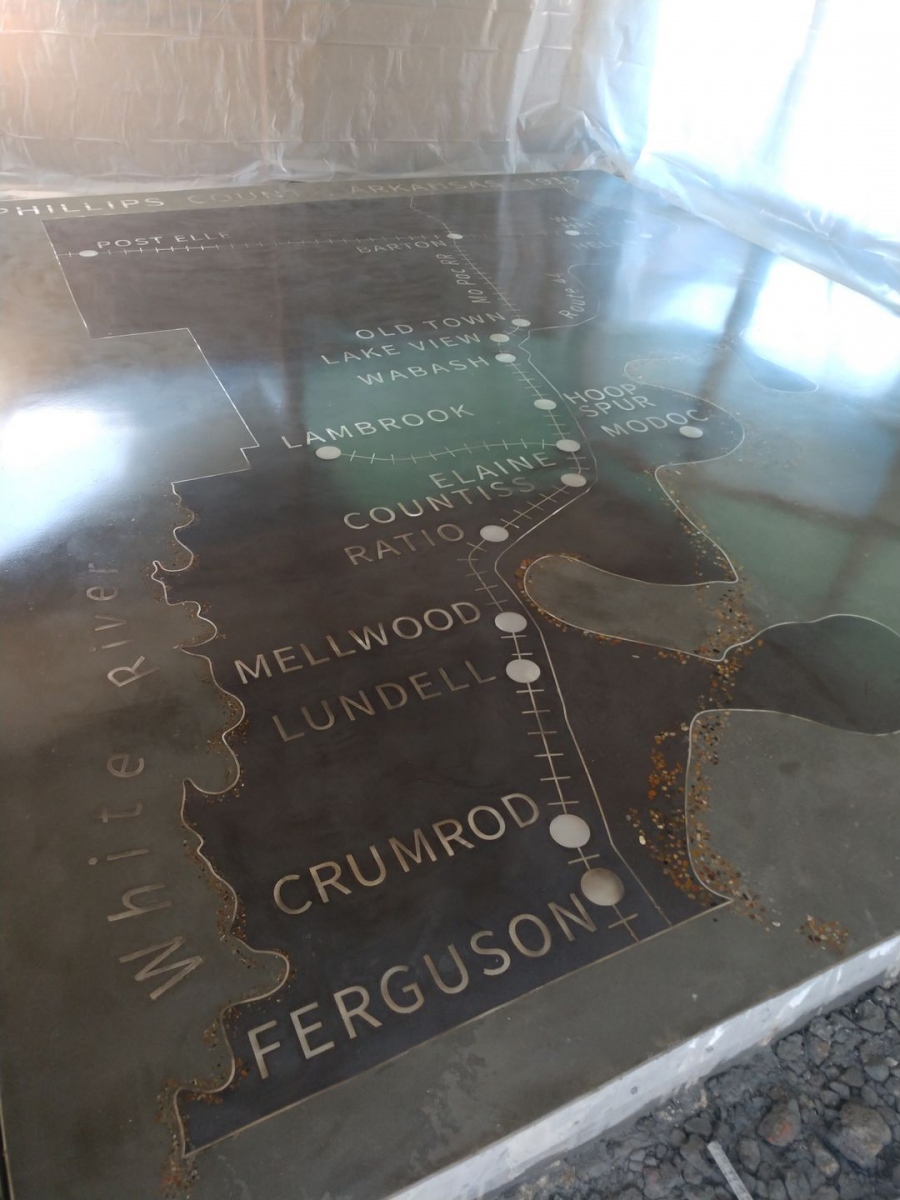
Map of Phillips County, Arkansas – 1919
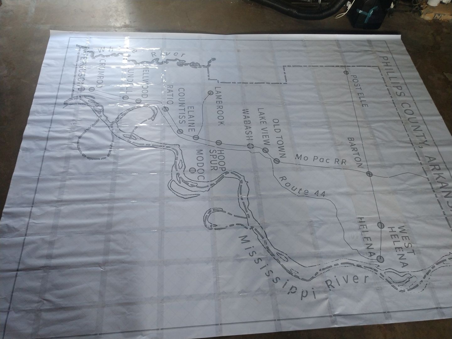
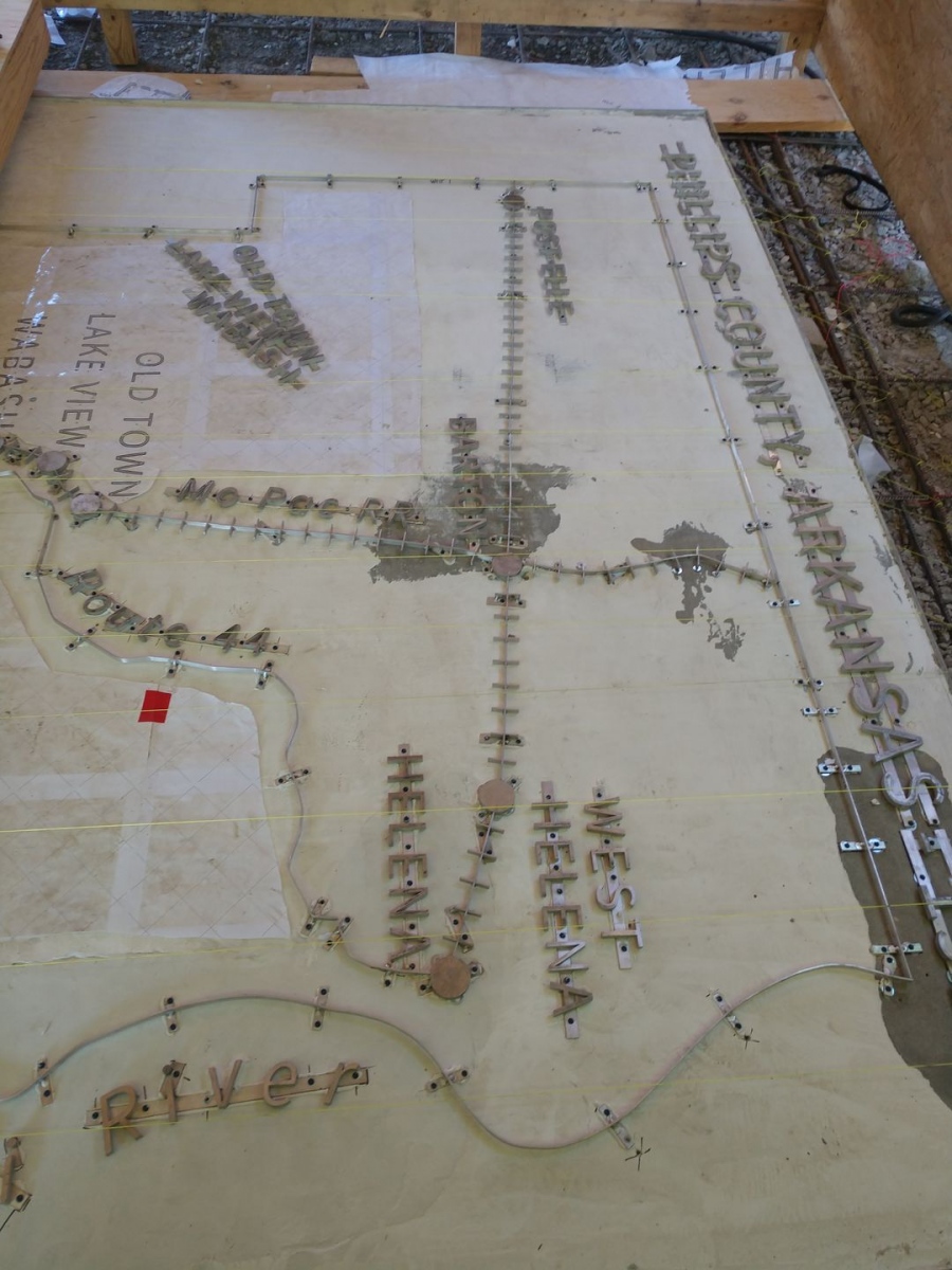
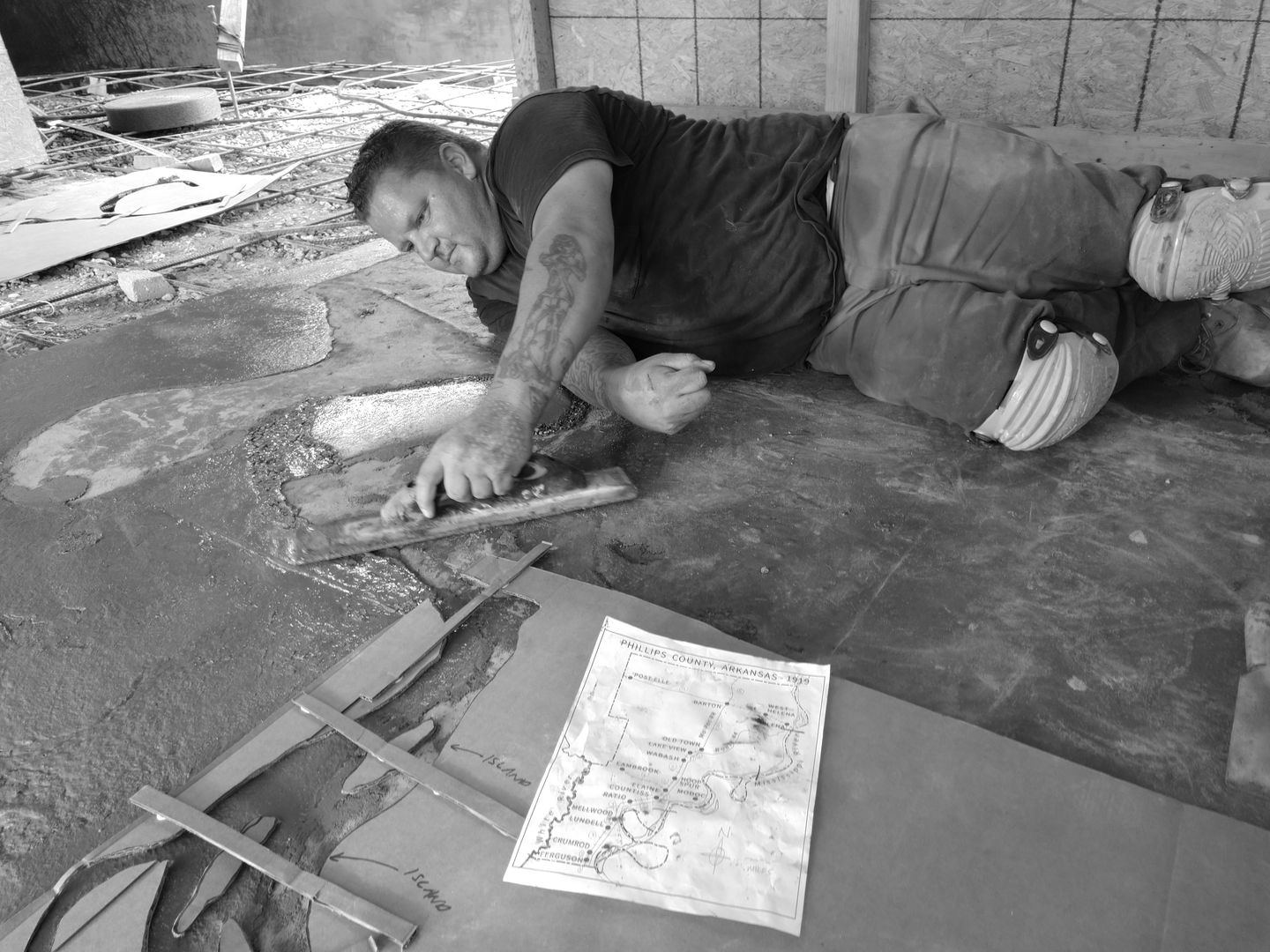
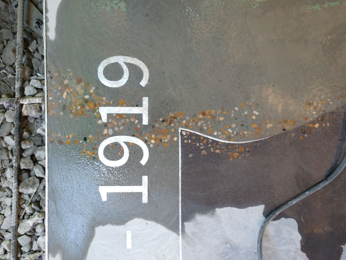
The 1919 Map of Phillips County, Arkansas was constructed as a terrazzo inlay on the floor of the Elaine Massacre Memorial. It was based on the map included in the beginning of the book “On The Laps of Gods” by Robert Whitaker. The map sets the stage for understanding many different aspects of the Elaine Massacre.
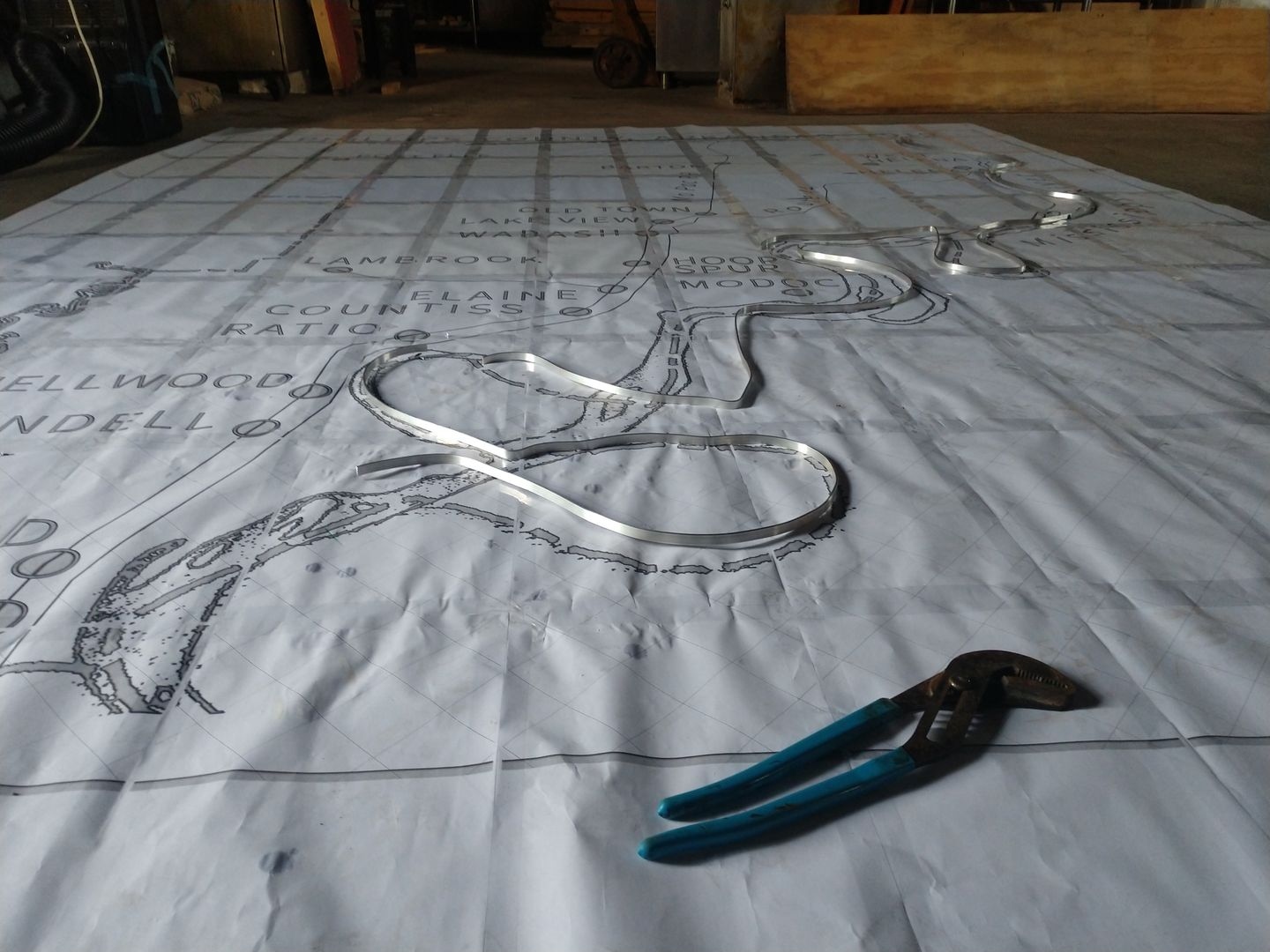
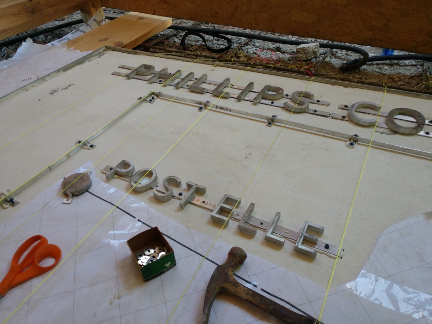
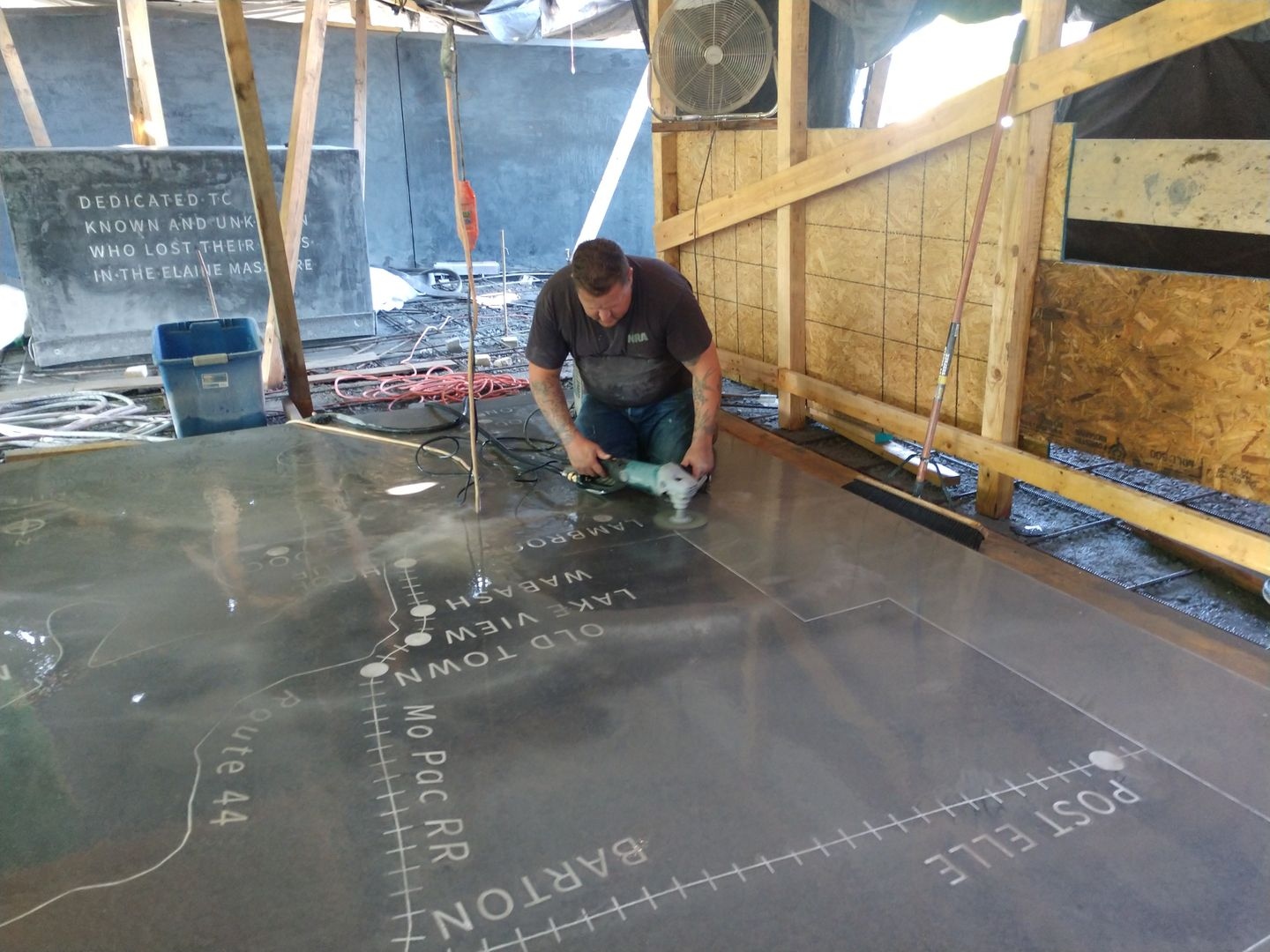
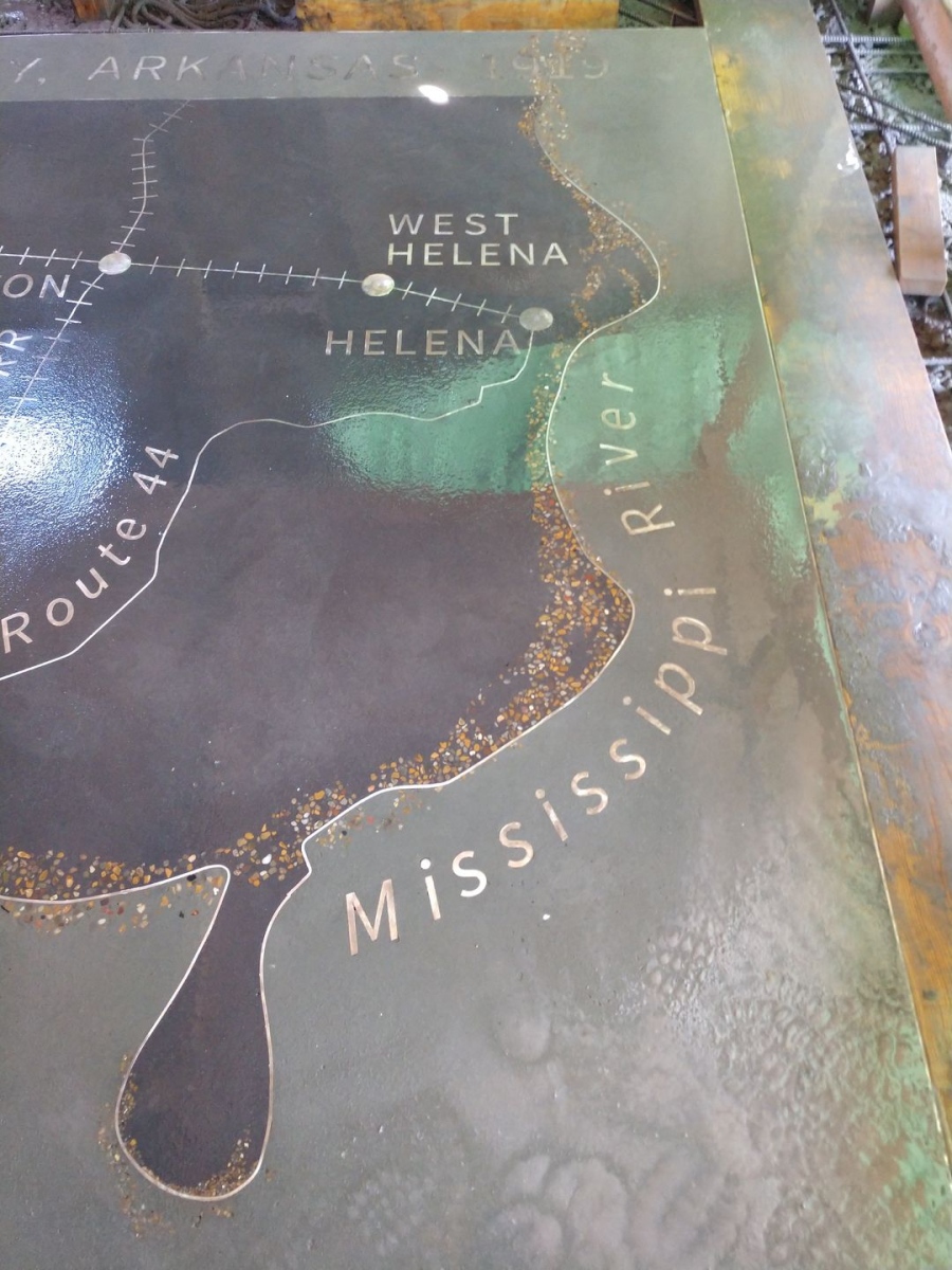
Similar to the cenotaph, the map utilizes aluminum lettering and linework set into a special concrete mix.
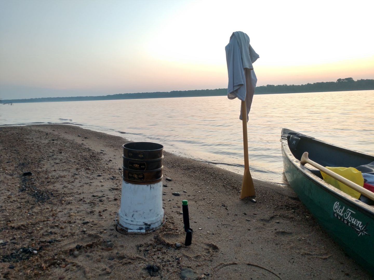
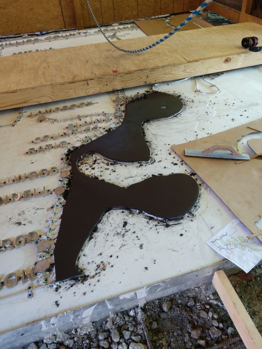
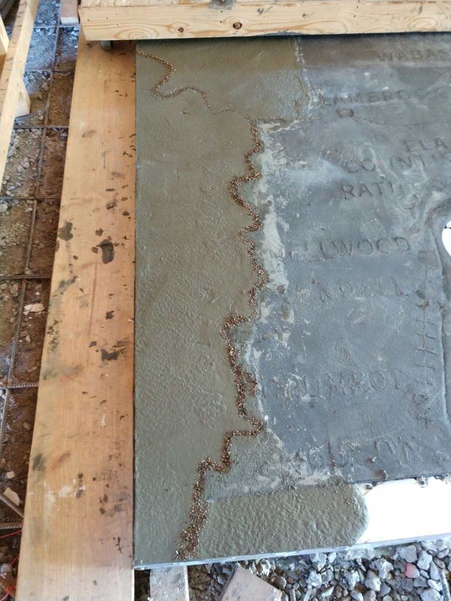
Rivers define the southwest and eastern boundaries of Phillips County, the White and the Mississippi respectively. Aggregates were collected from an island in the Mississippi River, just a few miles upstream from Helena, and used in the concrete mix to designate the river channels and horseshoe lakes.
The surface of the map was ground smooth, polished, and sealed.
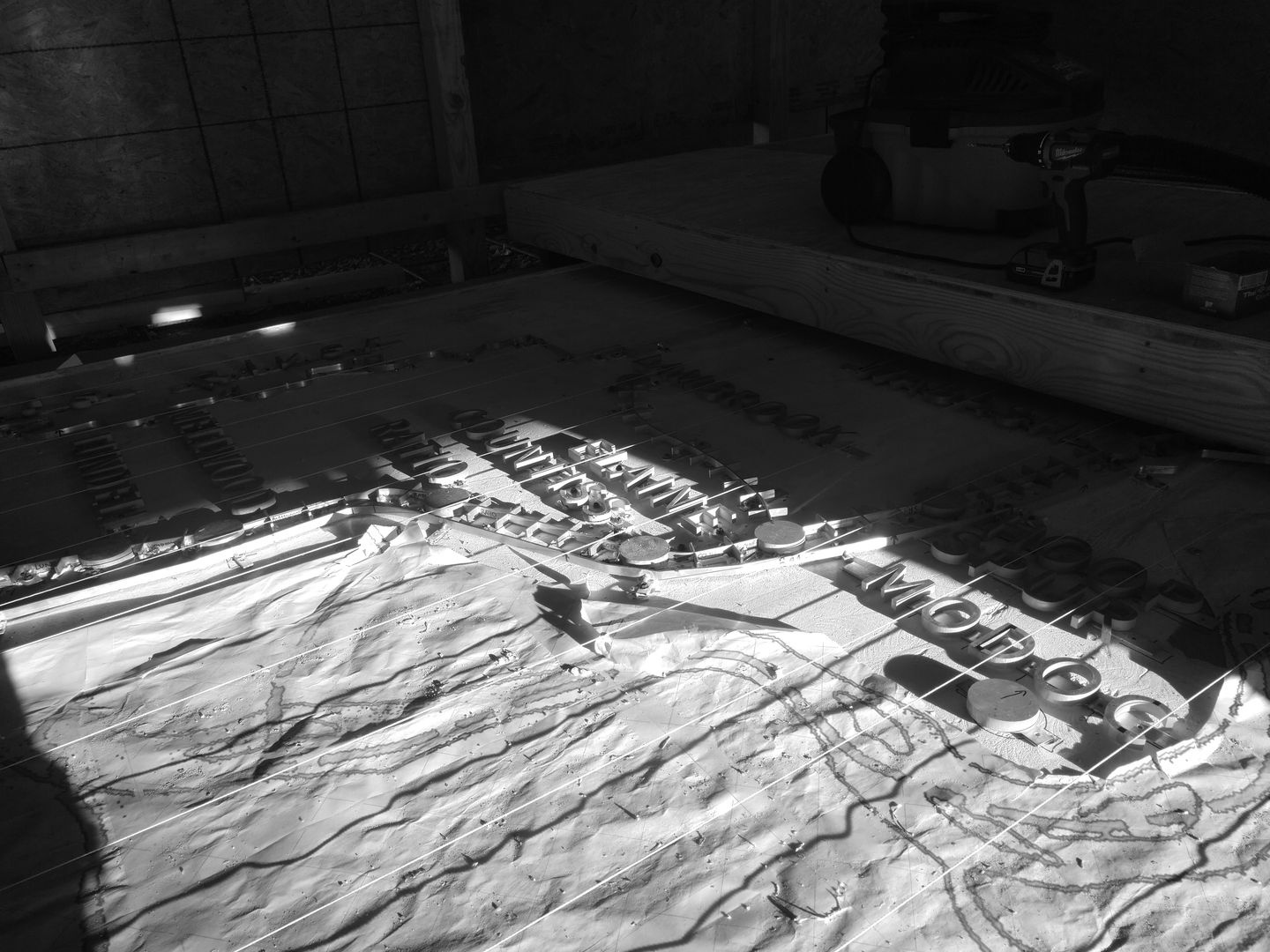
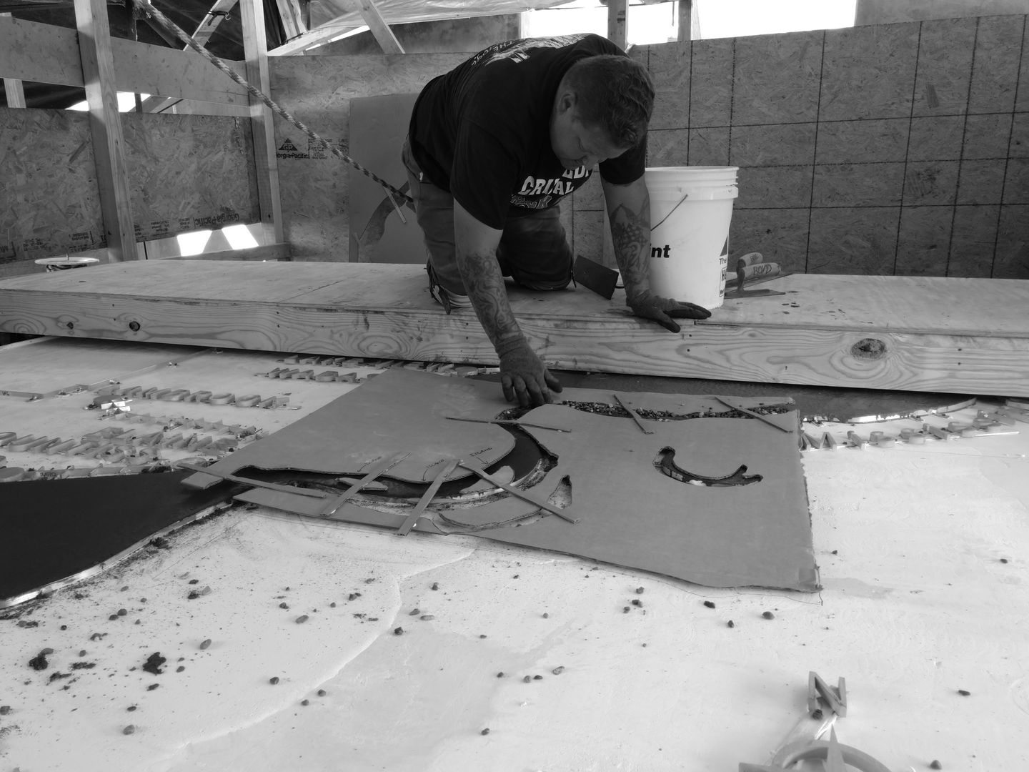
Photos of the process:
Time lapse video of the polishing & sealing process:
For more information about the Elaine Massacre Memorial, visit:
https://www.elainemassacrememorial.org/
For more information about the Elaine Massacre, visit:
https://www.smithsonianmag.com/history/death-hundreds-elaine-massacre-led-supreme-court-take-major-step-toward-equal-justice-african-americans-180969863/
https://encyclopediaofarkansas.net/entries/elaine-massacre-of-1919-1102/
